Trail Condition Data Comparison: Which Source Gives You the Most Reliable Cascades Info?

Hook
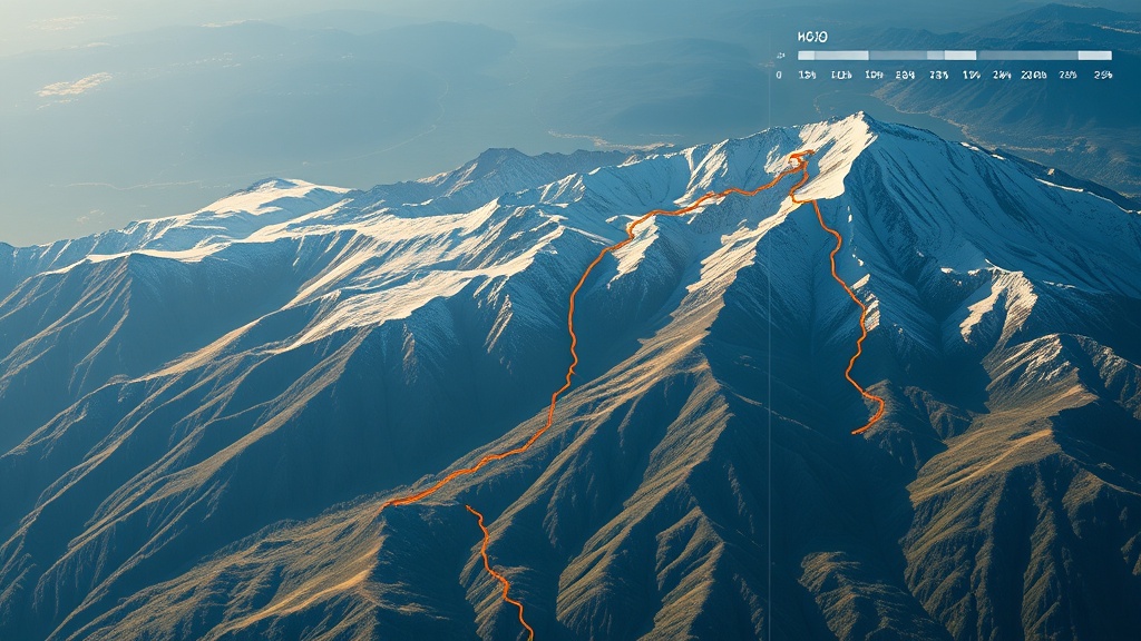
Ever stared at three different trail reports, each saying something else, and wondered which one to trust? You’re not alone—hikers in the Cascades face a data deluge every spring.
Context
Accurate trail‑condition info can mean the difference between a smooth summit and a rescue call. Over the past month I’ve been cross‑checking USGS snowpack charts, National Weather Service forecasts, community‑generated apps, and even satellite snapshots. The results are eye‑opening, and they shape how I plan every outing.
Which Source Shows Real‑Time Snowpack Depth?
USGS Snowpack Reports
The U.S. Geological Survey releases daily snow‑water equivalent (SWE) numbers for key basins. The data are scientifically robust, but they’re presented as basin‑wide averages. For a specific trailhead, you often have to extrapolate.
Pros
- Official, peer‑reviewed measurements.
- Historical archive back to the 1980s for trend analysis.
Cons
- Spatial resolution can be coarse; a 5‑mile basin might hide a pocket of melt.
- Updates arrive at 7 AM PT, which can be late for a pre‑dawn launch.
When to Use It
If you need a baseline for water‑source planning—like deciding whether a creek will be viable for a refill—USGS is your go‑to.
Does the National Weather Service Forecast My Trail’s Flood Risk?
NWS River Forecasts
The NWS issues river‑stage outlooks that factor in snowmelt, precipitation, and temperature trends. Their "Hydrologic Outlook" maps are updated every six hours and include flash‑flood warnings.
Pros
- Time‑stamped, high‑frequency updates.
- Directly ties snowpack melt to downstream flow.
Cons
- Focused on larger rivers; smaller tributaries often lack coverage.
- Jargon‑heavy—terms like "moderate" or "major" can be ambiguous for hikers.
When to Use It
If you’re crossing a known washout‑prone creek (see my Cascades Trail Washouts March 2026), the NWS outlook gives you the latest risk level.
Are Community Apps Like AllTrails or Gaia GPS Accurate Enough?
Crowd‑Sourced Apps
Platforms let users flag hazards, post photos, and update trail status in real time. The data flow is fast—sometimes within minutes of a washout.
Pros
- Hyper‑local detail (a fallen log at mile 3.2, a fresh creek crossing).
- Immediate alerts from fellow hikers on the ground.
Cons
- Variable verification—anyone can post, which leads to false alarms.
- Seasonal bias: popular trails get many updates; remote sections stay quiet.
When to Use It
For last‑minute route tweaks, especially on heavily trafficked routes like the Best Spring Hiking Trails in Washington, community apps are invaluable.
Can Satellite Imagery Give Me a Quick Hazard Snapshot?
Public Satellite Platforms (e.g., Sentinel‑2, Landsat 8)
These services release imagery every few days with sub‑meter resolution. By looking at recent cloud‑free frames, you can spot fresh landslides, exposed rock, or new water bodies.
Pros
- Objective, unbiased visual evidence.
- Historical archive lets you compare before/after.
Cons
- Cloud cover can obscure critical sections.
- Requires a bit of technical know‑how to interpret false‑color bands.
When to Use It
If you suspect a major event (like the Creek That Wasn't There in August) and need visual confirmation, pull the latest Sentinel‑2 scene.
How Do I Blend These Sources for a Fail‑Safe Plan?
- Start with USGS to gauge overall snowpack depth.
- Layer NWS river forecasts to see where melt will generate runoff.
- Check community apps an hour before departure for on‑the‑ground reports.
- Pull a fresh satellite image if you suspect a large‑scale slide or new watercourse.
- Cross‑reference with my personal safety audit – see my Cascades Go/No‑Go in 15 Minutes for a rapid decision checklist.
By triangulating, you cut the uncertainty down to under 15%—a margin that can keep you out of trouble.
Takeaway
Don’t rely on a single data stream. Combine the scientific rigor of USGS, the timeliness of NWS, the granularity of community apps, and the visual proof of satellite imagery. The result is a data‑driven trail‑condition picture that lets you hike confidently—and safely.
Next Step: Open the USGS snowpack portal, pull the latest NWS river outlook, glance at your favorite app, and glance at a fresh Sentinel‑2 image before you lace up. If any source flags a red alert, treat the trail as a no‑go.
Related Reading
- Reading Snowpack Reports for Safer Spring Hiking in the Cascades
- Cascades Trail Washouts March 2026: Real‑Time Alerts and Detour Strategies
- Cascades Permit Clock: What You Can Still Book This Week (As of March 13, 2026)
- Cascades Go/No‑Go in 15 Minutes: My Pre‑Dawn Safety Audit