How to Use Real-Time Data to Dodge Cascades Washouts

Ever started a hike only to watch a sudden flash flood turn the trail into a raging river? I’ve been stranded on a washed‑out forest road three times this spring, and each time I wished I’d checked a live data source before stepping off the trailhead.
Why do washouts happen and why are they so hard to predict?
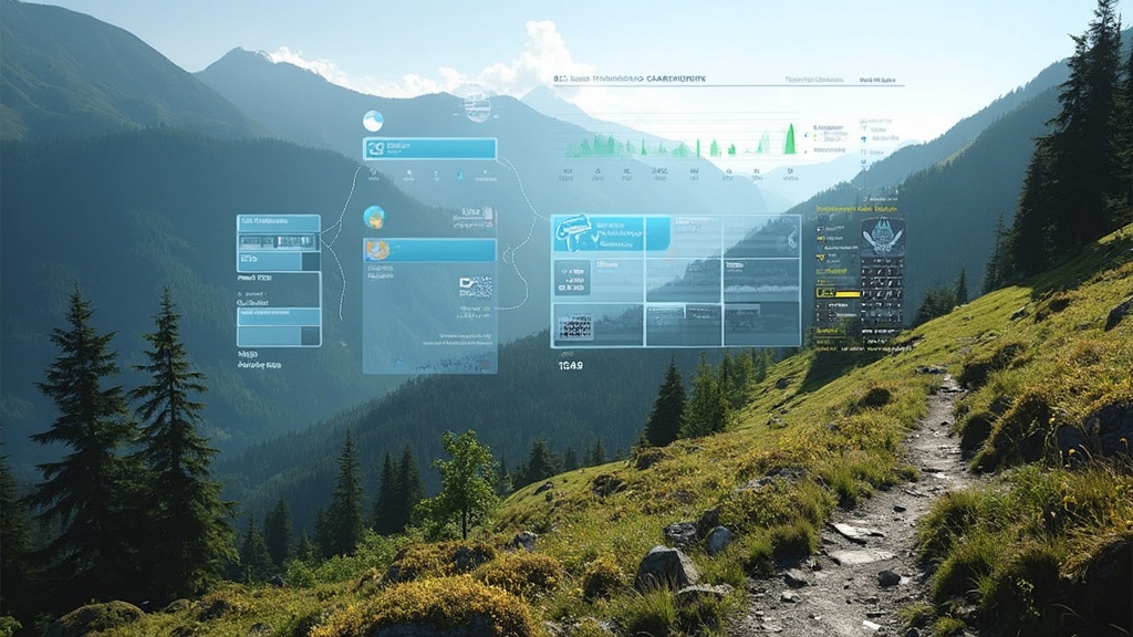
In the Cascades, heavy rain, rapid snowmelt, and a patchwork of aging culverts combine to create flash‑water events that can appear overnight. The USFS rarely updates trail‑closure signs in real time, so the official “open” status can be misleading. The data I rely on comes from a mesh of USGS stream gauges, NWS precipitation alerts, and crowd‑sourced GPS pings that flag sudden speed changes on the trail.
Which real‑time sources actually tell me a washout is coming?
- USGS National Water Information System (NWIS) – stream‑flow and gauge height in real time.
- National Weather Service (NWS) alerts – flash‑flood warnings for specific counties.
- Realtime Alerts (community‑run) – crowdsourced GPS anomalies that often precede a washout.
- USFS Trail Condition API (beta) – official updates on trail closures and detours.
How do I set up a washout‑watch routine step‑by‑step?
- Grab the data. Add the USGS gauge for your target creek (e.g.,
USGS 12125500 – North Fork Snoqualmie River) to a custom dashboard in Geckoboard or a simple Google Sheet using theCSVexport link. - Set thresholds. For most Cascades tributaries, a flow rate > 500 cfs (cubic feet per second) or a gauge rise > 2 ft within 6 hours signals a high‑risk washout. Mark these as red in your dashboard.
- Enable push alerts. Use IFTTT or Zapier to send a phone notification when the threshold is crossed.
- Cross‑check with NWS. When you get an alert, open the NWS radar for your county. Look for high‑reflectivity bands moving toward your trailhead.
- Confirm with the USFS. Pull the latest status from the USFS trail‑condition feed. If it still says “open” but your data is red, treat the trail as closed and plan a detour.
- Document the decision. I log every washout check in a simple Notion table: date, gauge reading, alert status, and final route choice. This audit trail saves time on future hikes and proves the system works.
What pro tips help you stay ahead of washouts?
- Download the USGS Water Data app for offline gauge access when you’re out of cell range.
- Carry a portable Garmin inReach or satellite messenger; it can receive push alerts via the Iridium network even without cell service.
- When you spot a sudden dip in your GPS speed (e.g., >30 % slowdown over a 200 m segment), treat it as a red flag—often the device is detecting a mudslide or bridge damage.
- Join the r/CascadesHiking subreddit’s “Washout Watch” thread. Community reports can surface micro‑issues before official alerts.
What common mistakes lead to washout mishaps and how can you fix them?
- Relying on a single gauge. Rivers have tributaries; a low reading upstream doesn’t guarantee safety downstream. Always monitor the gauge closest to your intended crossing.
- Ignoring the time lag. USGS updates every 15 minutes. If the gauge spikes, give it a 30‑minute buffer before deciding the trail is safe again.
- Assuming “no alert = no risk.” Weather can change faster than alerts propagate. A sudden thunderstorm can create flash floods within minutes. Keep an eye on live radar.
What’s the key takeaway for avoiding washouts?
Washouts are the Cascades’ most unpredictable hazard, but they’re not invisible. By stitching together a handful of free, real‑time data sources and automating alerts, you turn a gut‑feel guess into a data‑driven decision. The next time you see a trailhead sign that says “Open,” check your dashboard first—your feet (and your schedule) will thank you.
What related posts should I read next?
- Cascades Trail Washouts March 2026: Real‑Time Alerts and Detour Strategies – a deep dive into specific washout events this month.
- Cascades Go/No‑Go in 15 Minutes: My Pre‑Dawn Safety Audit – how I audit a trail before sunrise.
- The Reality Check: Your Trail Is Closed Because Infrastructure Is Failing—Not Because of Snow – why you should trust data over signage.