5 Essential Skills for Navigating the Wilderness Without GPS

Mastering the Topographic Map
Precision Compass Work
Reading Natural Landmarks
Understanding Sun and Shadow Patterns
Using Handrails and Catch Features
I spent fifteen years in logistics management. In that world, if your coordinates were off by even a fraction, a shipment didn't just arrive late—it vanished. I brought that same obsession with precision to the Cascades. When I look at a topographic map, I don't see pretty lines; I see elevation gradients, drainage patterns, and potential points of failure.
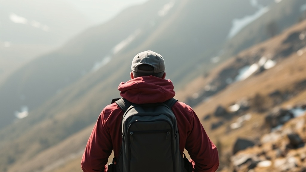
Lately, I’ve noticed a dangerous trend on the trails. Influencers are posting breathtaking shots of "hidden gems," but they rarely mention the technical difficulty or the reality of losing signal. They rely heavily on GPS apps and smartphone interfaces. This is a massive single point of failure. Batteries die, screens crack, and GPS signals bounce off steep granite walls in deep valleys. If you cannot navigate when your electronics fail, you aren't a hiker—you're a liability to yourself and search and rescue teams.
Navigation is a fundamental skill, not an optional hobby. Whether you are planning a high-altitude traverse or a simple backcountry loop, you need to be able to orient yourself using the physical world. Here are the five essential skills you must master to navigate the wilderness without a digital crutch.
1. Topographic Map Interpretation and Mental Modeling
A GPS gives you a blue dot. A topographic map gives you the truth. To navigate effectively, you must move beyond simply "following the line" and start understanding the terrain through contour lines. This is the ability to look at a two-dimensional sheet of paper and visualize a three-dimensional landscape in your mind.
Understanding Contour Intervals
Contour lines represent constant elevation. When lines are packed tightly together, you are looking at a cliff or a steep slope. When they are far apart, the terrain is relatively flat. If you are hiking in the Cascades, you will encounter rapid transitions between these states. You need to be able to identify:
- Spurs and Ridges: These are the "fingers" of land that stick out from a mountain.
- Draws and Gullies: These are the depressions that funnel water downward.
- Saddles: The low points between two higher peaks.
The goal is to build a mental model. As you hike, you should constantly be asking: "Based on the contour lines, am I about to climb a steep grade, or am I entering a plateau?" If your mental model doesn't match the physical sensation of your legs, you are likely off-course. This level of situational awareness is vital for long-term physical health and safety; staying in control of your movements prevents the erratic, high-stress exertion that can disrupt your physiological rhythms. For those interested in maintaining peak performance, understanding pillars of a healthier, age-defying lifestyle can help you manage the physical toll of high-intensity mountain travel.
2. Advanced Compass Proficiency
A compass is a mechanical tool. It does not require a satellite, a battery, or a software update. However, a compass is only as good as the person holding it. Most casual hikers know how to find North, but very few know how to use a compass to navigate a specific bearing through complex terrain.
The Art of Orienting the Map
You must practice the three core functions of compass work:
- Orienting the Map: Rotating the map so that the North indicated on the paper matches the North indicated by your compass.
- Taking a Bearing: Identifying a landmark in the distance (like a specific peak) and determining exactly what degree you need to travel to reach it.
- Following a Bearing: Keeping a straight line of travel when the trail disappears or when you are forced off-path by obstacles.
Precision is non-negotiable. If you are off by just five degrees on a long approach, you could miss your campsite by hundreds of yards. When you are tired, hungry, and the light is fading, that margin of error disappears. While you are out there honing these technical skills, ensure your caloric intake is optimized. Much like how you manage your gear, you should manage your fuel. Integrating circadian-aligned food strategies can ensure your body is processing energy efficiently, even when the physical demands of navigation become grueling.
3. Natural Navigation and Terrain Association
The most proficient navigators don't just look at their tools; they look at the world. Terrain association is the practice of matching the features you see in front of you to the features on your map. This is a way of "verifying" your position constantly.
Using Landmark Benchmarking
Instead of walking blindly, use "checkpoints." If your map shows a sharp bend in a creek followed by a prominent granite outcrop, do not consider your position "verified" until you have actually seen that creek bend and that outcrop.
"Navigation is not a single event that happens once an hour; it is a continuous loop of observation, comparison, and verification."
If you are moving through dense forest where the skyline is obscured, you must rely on micro-features. Look for changes in vegetation, the direction of water runoff, or the angle of the slope. If you find yourself descending when the map indicates an ascent, stop immediately. Do not "push through" to see if it corrects itself. In my experience, that is the exact moment when a minor detour becomes a full-blown survival situation.
4. Dead Reckoning and Pacing
In low visibility—such as heavy fog in the mountains or a whiteout snowstorm—map and compass may not be enough. This is where dead reckoning comes in. Dead reckoning is the process of calculating your current position by using a previously determined position and advancing that position based upon known or estimated speeds and courses.
Mastering Your Pace Count
To use dead reckoning, you must know your pace. I don't mean "steps"; I mean "double-steps" (the distance between your left foot hitting the ground and your right foot hitting the ground). You need to know how many double-steps it takes you to cover 100 meters on flat ground, and more importantly, how that changes on a 15% incline.
If you know that you have walked 500 double-steps at a 10-degree heading, you can plot that movement on your map to estimate your new position. This is a fundamental skill for anyone practicing ultralight backpacking, where every ounce of weight counts and your ability to move efficiently through the terrain is paramount. If you can't track your progress through movement and distance, you are essentially flying blind.
5. Situational Awareness and Environmental Reading
The final skill is the most holistic: reading the environment to predict changes before they happen. A navigator isn't just looking at where they are, but where they will be in two hours. This involves monitoring weather patterns, light levels, and biological cues.
The Intersection of Time and Light
One of the biggest mistakes hikers make is miscalculating the time required to reach a destination. They see the sun is still high and assume they have plenty of time. They fail to account for the fact that shadows lengthen and light quality changes rapidly in high-altitude environments.
This is a matter of biological management. If you are traveling through different time zones or adjusting your schedule due to seasonal shifts, you must remain disciplined. For example, if you are traveling across regions, knowing how to reset your body clock is useful for general wellness, but in the backcountry, it's about managing your internal sense of time to ensure you reach camp before darkness sets in. If you lose your sense of time, you lose your ability to plan your navigation accurately.
Summary of Essential Gear for Non-Digital Navigation:
- Topographic Map: Waterproof/Rite-in-the-Rain versions are highly recommended.
- Baseplate Compass: Ensure it has a transparent scale for map work.
- Altimeter: A mechanical or high-quality analog watch with an altimeter function (to verify elevation).
- Notebook and Pencil: For recording pace counts, bearings, and distances.
Stop relying on the glowing screen in your pocket. It is a fragile piece of technology that can fail you at any moment. Build these skills into your repertoire. The more you rely on your internal compass and your ability to read the land, the more confident—and safer—you will be in the wild. Precision is the difference between a great adventure and a rescue mission. Train accordingly.